Former tannery,Whitley Road, Whitley Lower
Introduction
The photograph on this page of Former tannery,Whitley Road, Whitley Lower by Humphrey Bolton as part of the Geograph project.
The Geograph project started in 2005 with the aim of publishing, organising and preserving representative images for every square kilometre of Great Britain, Ireland and the Isle of Man.

There are currently over 7.5m images from over 14,400 individuals and you can help contribute to the project by visiting https://www.geograph.org.uk
Former tannery,Whitley Road, Whitley Lower
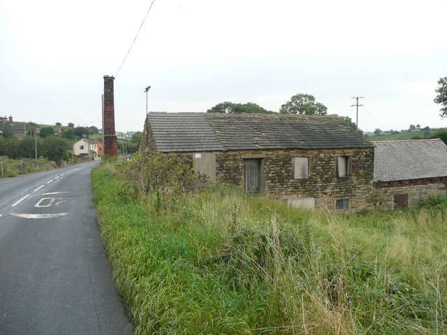
Image: © Humphrey Bolton Taken: 18 Sep 2008
Captioned 'tannery on the 1850 map, which also has 'Whitley Mill' in larger letters. This is one of those awkward subjects; the building is in SE2217 but the chimney is in SE2218.
Images are licensed for reuse under creativecommons.org/licenses/by-sa/2.0
Image Location
Latitude
53.657117
Longitude
-1.662538