The Robert Burns Centre, Dumfries
Introduction
The photograph on this page of The Robert Burns Centre, Dumfries by John Lord as part of the Geograph project.
The Geograph project started in 2005 with the aim of publishing, organising and preserving representative images for every square kilometre of Great Britain, Ireland and the Isle of Man.

There are currently over 7.5m images from over 14,400 individuals and you can help contribute to the project by visiting https://www.geograph.org.uk
The Robert Burns Centre, Dumfries
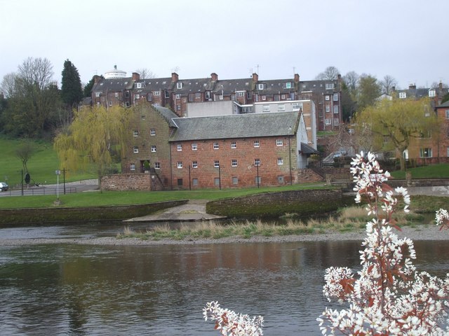
Image: © John Lord Taken: 22 Apr 2008
Formerly a watermill. The top of the Camera Obscura can be seen above the left-hand roof of the terrace beyond.
Images are licensed for reuse under creativecommons.org/licenses/by-sa/2.0
Image Location
Latitude
55.066322
Longitude
-3.61345