The Blue Anchor in Cursitor Street
Introduction
The photograph on this page of The Blue Anchor in Cursitor Street by Basher Eyre as part of the Geograph project.
The Geograph project started in 2005 with the aim of publishing, organising and preserving representative images for every square kilometre of Great Britain, Ireland and the Isle of Man.

There are currently over 7.5m images from over 14,400 individuals and you can help contribute to the project by visiting https://www.geograph.org.uk
The Blue Anchor in Cursitor Street
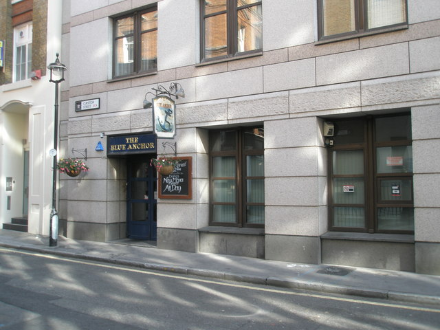
Image: © Basher Eyre Taken: 14 Sep 2008
A Coursiter was a 16th Century official charged with serving Chancery writs. Long, D. (2021). London’s Secret Square Mile. 2nd ed. Cheltenham: The History Press.
Images are licensed for reuse under creativecommons.org/licenses/by-sa/2.0
Image Location


Leaflet Map data © OpenStreetMap
Latitude
51.51621
Longitude
-0.110846