Staffordshire and Worcestershire Canal at Penkridge
Introduction
The photograph on this page of Staffordshire and Worcestershire Canal at Penkridge by Roger D Kidd as part of the Geograph project.
The Geograph project started in 2005 with the aim of publishing, organising and preserving representative images for every square kilometre of Great Britain, Ireland and the Isle of Man.

There are currently over 7.5m images from over 14,400 individuals and you can help contribute to the project by visiting https://www.geograph.org.uk
Staffordshire and Worcestershire Canal at Penkridge
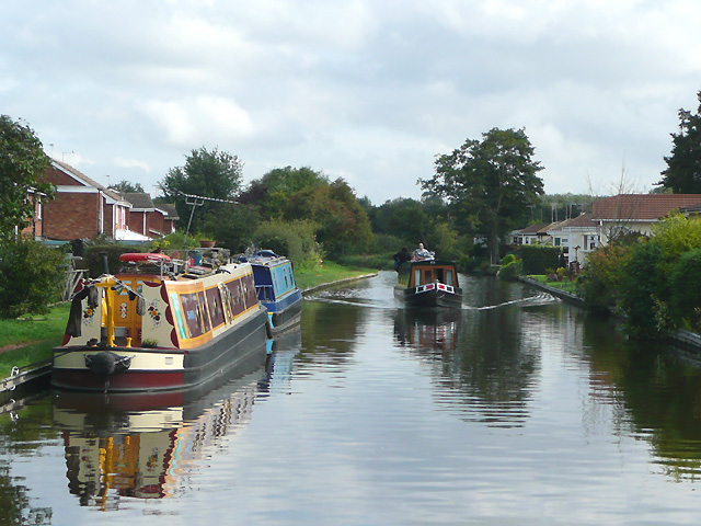
Image: © Roger D Kidd Taken: 13 Sep 2008
The Staffordshire and Worcestershire Canal was opened throughout by 1772 at a cost of a little over £100,000. It stretches for 46 miles from Great Haywood to the River Severn at Stourport.
Images are licensed for reuse under creativecommons.org/licenses/by-sa/2.0
Image Location


Leaflet Map data © OpenStreetMap
Latitude
52.726299
Longitude
-2.103902