Long Moll's Bridge, Staffordshire and Worcestershire Canal near Calf Heath
Introduction
The photograph on this page of Long Moll's Bridge, Staffordshire and Worcestershire Canal near Calf Heath by Roger D Kidd as part of the Geograph project.
The Geograph project started in 2005 with the aim of publishing, organising and preserving representative images for every square kilometre of Great Britain, Ireland and the Isle of Man.

There are currently over 7.5m images from over 14,400 individuals and you can help contribute to the project by visiting https://www.geograph.org.uk
Long Moll's Bridge, Staffordshire and Worcestershire Canal near Calf Heath
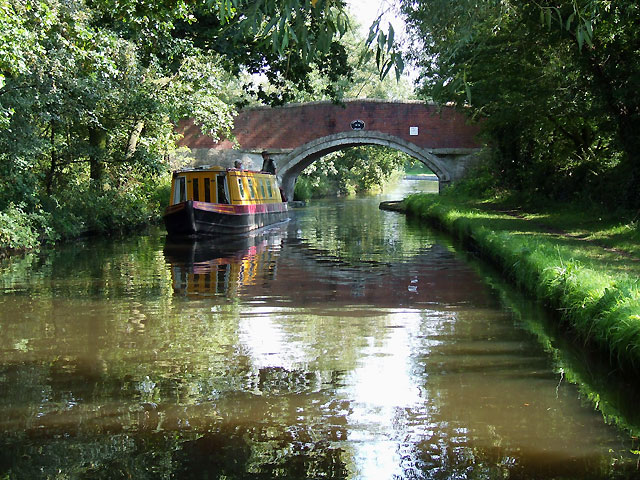
Image: © Roger D Kidd Taken: 13 Sep 2008
The distinctive colours of a Viking Afloat hire boat add to this image of the canal at Bridge No 76 (counting from Stourport). These old numberings give a slightly misleading idea of the quantity of bridges still in place on the canal. Some farmer's service bridges, swing bridges, or lift bridges no longer exist, and some new road bridges have been added.
Images are licensed for reuse under creativecommons.org/licenses/by-sa/2.0
Image Location
Latitude
52.675596
Longitude
-2.106296