Howell Street, Nant-y-moel
Introduction
The photograph on this page of Howell Street, Nant-y-moel by Mick Lobb as part of the Geograph project.
The Geograph project started in 2005 with the aim of publishing, organising and preserving representative images for every square kilometre of Great Britain, Ireland and the Isle of Man.

There are currently over 7.5m images from over 14,400 individuals and you can help contribute to the project by visiting https://www.geograph.org.uk
Howell Street, Nant-y-moel
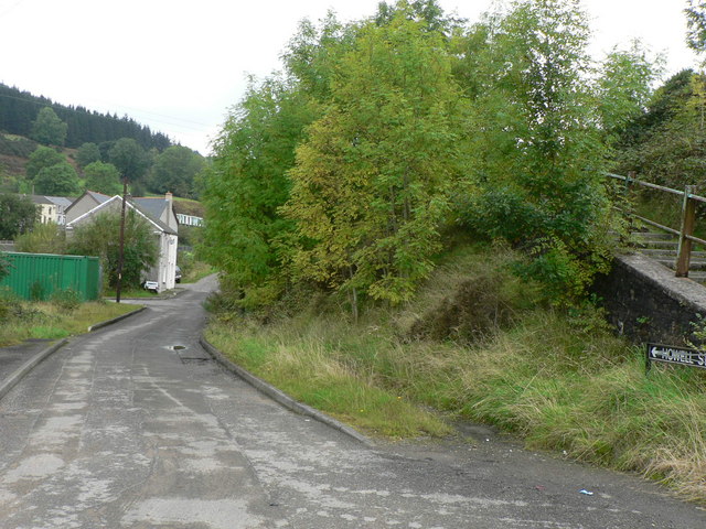
Image: © Mick Lobb Taken: 16 Sep 2008
The Ogwr Vale cycle trail peters out here unless taking steps to the right and climbing the Bwlch on the A4061.
Images are licensed for reuse under creativecommons.org/licenses/by-sa/2.0
Image Location
Latitude
51.628012
Longitude
-3.54232