Bell House pits
Introduction
The photograph on this page of Bell House pits by martin more as part of the Geograph project.
The Geograph project started in 2005 with the aim of publishing, organising and preserving representative images for every square kilometre of Great Britain, Ireland and the Isle of Man.

There are currently over 7.5m images from over 14,400 individuals and you can help contribute to the project by visiting https://www.geograph.org.uk
Bell House pits
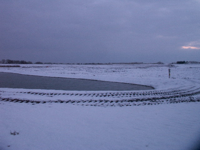
Image: © martin more Taken: 28 Dec 2005
View due East from perimeter fence, near Bell House Farm across the Bell House pits, extensive gravel/ sand workings now being utilised for landfill.
Images are licensed for reuse under creativecommons.org/licenses/by-sa/2.0
Image Location
Latitude
51.867161
Longitude
0.823618