Road to isolated house
Introduction
The photograph on this page of Road to isolated house by John Goldsmith as part of the Geograph project.
The Geograph project started in 2005 with the aim of publishing, organising and preserving representative images for every square kilometre of Great Britain, Ireland and the Isle of Man.

There are currently over 7.5m images from over 14,400 individuals and you can help contribute to the project by visiting https://www.geograph.org.uk
Road to isolated house
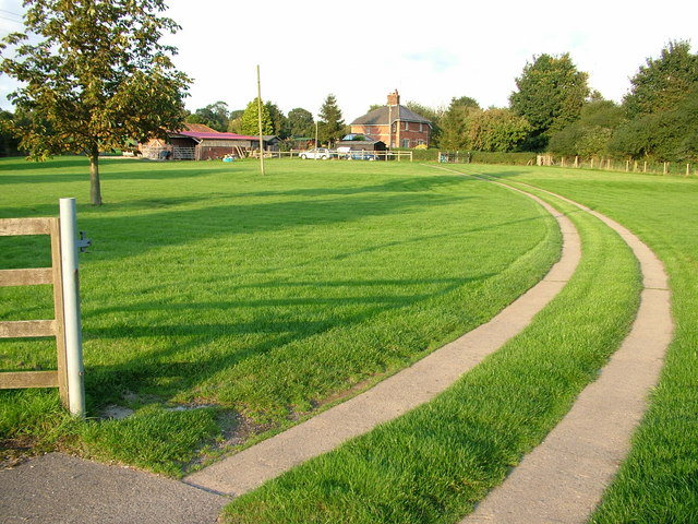
Image: © John Goldsmith Taken: 11 Sep 2008
Why was this house built a couple of hundred metres from the road? But very close to the railway embankment, which is hidden in the trees. This is the Saxmundham to Lowestoft line, but at this point it also carries the nuclear flasks for Sizewell power station, as the points for the branch line are a bit beyond the house. There is a footpath on the right (south) alongside the embankment.
Images are licensed for reuse under creativecommons.org/licenses/by-sa/2.0
Image Location
Latitude
52.218154
Longitude
1.492471