2008 : Top of the village, Wick
Introduction
The photograph on this page of 2008 : Top of the village, Wick by Maurice Pullin as part of the Geograph project.
The Geograph project started in 2005 with the aim of publishing, organising and preserving representative images for every square kilometre of Great Britain, Ireland and the Isle of Man.

There are currently over 7.5m images from over 14,400 individuals and you can help contribute to the project by visiting https://www.geograph.org.uk
2008 : Top of the village, Wick
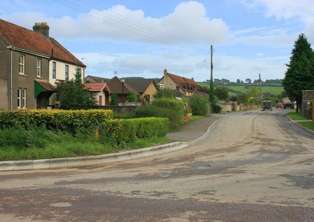
Image: © Maurice Pullin Taken: 11 Sep 2008
This was the old A420 before realignment. There was a nasty bend 1km toward Chippenham and a worse one here. A short cut-off road runs between the garage and Pool Farm.
Images are licensed for reuse under creativecommons.org/licenses/by-sa/2.0
Image Location


Leaflet Map data © OpenStreetMap
Latitude
51.453262
Longitude
-2.416152