Sherwood House
Introduction
The photograph on this page of Sherwood House by David Long as part of the Geograph project.
The Geograph project started in 2005 with the aim of publishing, organising and preserving representative images for every square kilometre of Great Britain, Ireland and the Isle of Man.

There are currently over 7.5m images from over 14,400 individuals and you can help contribute to the project by visiting https://www.geograph.org.uk
Sherwood House
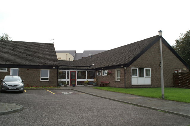
Image: © David Long Taken: 15 Sep 2008
This care home is reaching the end of its life. The building seen in the background is the first phase of a retirement village. Most of the Sherwood House residents will be transferred there upon its completion, and the site will be cleared for the next phase of the development.
Images are licensed for reuse under creativecommons.org/licenses/by-sa/2.0
Image Location
Latitude
53.519825
Longitude
-2.599631