Up fast line HST at Maidenhead
Introduction
The photograph on this page of Up fast line HST at Maidenhead by Peter Whatley as part of the Geograph project.
The Geograph project started in 2005 with the aim of publishing, organising and preserving representative images for every square kilometre of Great Britain, Ireland and the Isle of Man.

There are currently over 7.5m images from over 14,400 individuals and you can help contribute to the project by visiting https://www.geograph.org.uk
Up fast line HST at Maidenhead
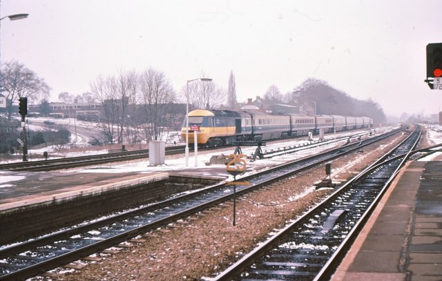
Image: © Peter Whatley Taken: Unknown
In 1979 this was the cutting edge of UK passenger transport. Sadly, in 2008 there's a strong argument that it still is. Taken looking west from the northernmost platform of Maidenhead's through platforms.
Images are licensed for reuse under creativecommons.org/licenses/by-sa/2.0
Image Location
Latitude
51.518104
Longitude
-0.724622