The Dock
Introduction
The photograph on this page of The Dock by Simon Carey as part of the Geograph project.
The Geograph project started in 2005 with the aim of publishing, organising and preserving representative images for every square kilometre of Great Britain, Ireland and the Isle of Man.

There are currently over 7.5m images from over 14,400 individuals and you can help contribute to the project by visiting https://www.geograph.org.uk
The Dock
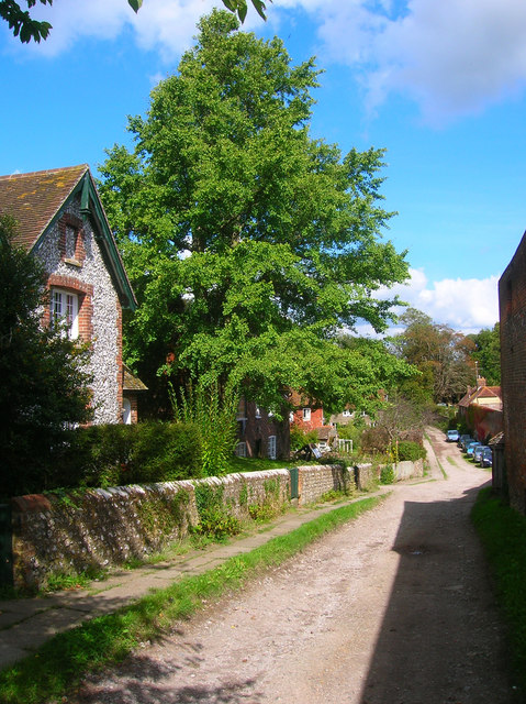
Image: © Simon Carey Taken: 13 Sep 2008
A private road that leads off The Street. So named as once a tributary of Glynde Reach was used to transport large items to the village. The waterway has long gone most likely during the designing of the park in the 18th century though the ponds and weirs there are likely to be part of the old course.
Images are licensed for reuse under creativecommons.org/licenses/by-sa/2.0
Image Location
Latitude
50.84636
Longitude
0.087409