Keekle Viaduct.
Introduction
The photograph on this page of Keekle Viaduct. by John Holmes as part of the Geograph project.
The Geograph project started in 2005 with the aim of publishing, organising and preserving representative images for every square kilometre of Great Britain, Ireland and the Isle of Man.

There are currently over 7.5m images from over 14,400 individuals and you can help contribute to the project by visiting https://www.geograph.org.uk
Keekle Viaduct.
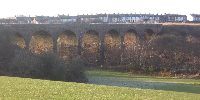
Image: © John Holmes Taken: 27 Dec 2005
The view over the nicely kept farmland on this eastern side is in complete contrast to the undergrowth on the other side. The row of houses behind is Keekle.
Images are licensed for reuse under creativecommons.org/licenses/by-sa/2.0
Image Location
Latitude
54.532167
Longitude
-3.539141