Farm
Introduction
The photograph on this page of Farm by Chris Court as part of the Geograph project.
The Geograph project started in 2005 with the aim of publishing, organising and preserving representative images for every square kilometre of Great Britain, Ireland and the Isle of Man.

There are currently over 7.5m images from over 14,400 individuals and you can help contribute to the project by visiting https://www.geograph.org.uk
Farm
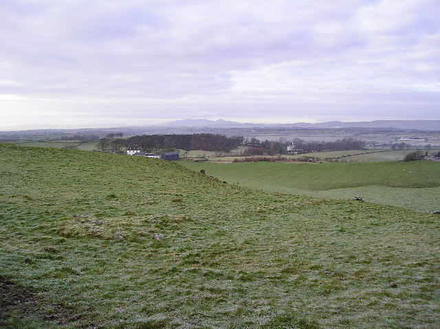
Image: © Chris Court Taken: 27 Dec 2005
View to Low Borland farm, with to the right and further west (Image) Aiket Castle can be seen, and on the horizon the hills of the Island of Arran.
Images are licensed for reuse under creativecommons.org/licenses/by-sa/2.0
Image Location
Latitude
55.703206
Longitude
-4.560479