Main street, Lampeter Velfrey
Introduction
The photograph on this page of Main street, Lampeter Velfrey by Dylan Moore as part of the Geograph project.
The Geograph project started in 2005 with the aim of publishing, organising and preserving representative images for every square kilometre of Great Britain, Ireland and the Isle of Man.

There are currently over 7.5m images from over 14,400 individuals and you can help contribute to the project by visiting https://www.geograph.org.uk
Main street, Lampeter Velfrey
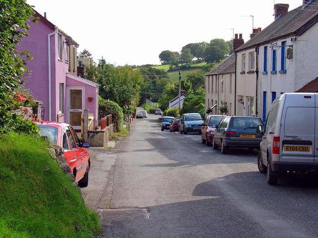
Image: © Dylan Moore Taken: 12 Sep 2008
Lampeter Velfrey (in Welsh Llanbedr Efelfre) is a large parish comprising the southern half of the ancient commote of Efelfre. It belonged to the Welsh-speaking, northern-eastern part of Pembrokeshire, but began to be anglicized in the 19th century, and there is now only a small minority of native Welsh speakers. By contrast, Llanddewi Velfrey (to the north of the Afon Marlais) still has a majority of native Welsh speakers.
Images are licensed for reuse under creativecommons.org/licenses/by-sa/2.0
Image Location


Leaflet Map data © OpenStreetMap
Latitude
51.797789
Longitude
-4.678489