Lay-by near Bancyfelin
Introduction
The photograph on this page of Lay-by near Bancyfelin by Natasha Ceridwen de Chroustchoff as part of the Geograph project.
The Geograph project started in 2005 with the aim of publishing, organising and preserving representative images for every square kilometre of Great Britain, Ireland and the Isle of Man.

There are currently over 7.5m images from over 14,400 individuals and you can help contribute to the project by visiting https://www.geograph.org.uk
Lay-by near Bancyfelin
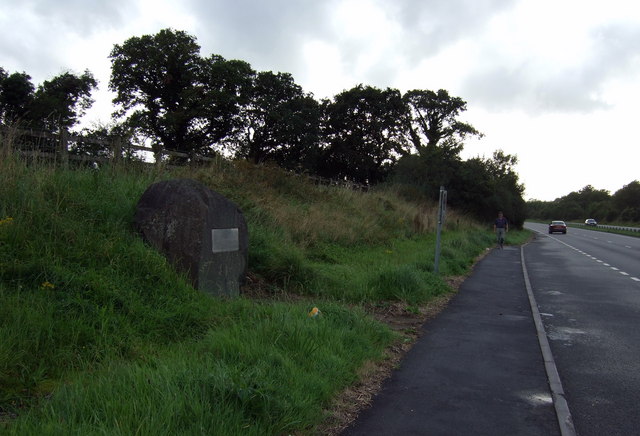
Image: © Natasha Ceridwen de Chroustchoff Taken: 9 Sep 2008
The plaque on the boulder commemorates the opening of this A40 dual-carriage extension east of Sancler/St Clears in 1995.
Images are licensed for reuse under creativecommons.org/licenses/by-sa/2.0
Image Location
Latitude
51.830158
Longitude
-4.443531