Winding to The Carrs and The Wolds
Introduction
The photograph on this page of Winding to The Carrs and The Wolds by Chris Yeates as part of the Geograph project.
The Geograph project started in 2005 with the aim of publishing, organising and preserving representative images for every square kilometre of Great Britain, Ireland and the Isle of Man.

There are currently over 7.5m images from over 14,400 individuals and you can help contribute to the project by visiting https://www.geograph.org.uk
Winding to The Carrs and The Wolds
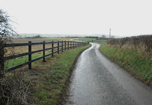
Image: © Chris Yeates Taken: 26 Dec 2005
The flat land between Filey to the east and Pickering to the West (once the huge Lake Pickering) has many place names reflecting its wetland history, generally either 'Carr' or 'Ings'. The northern edge of the Wolds can be seen in the distance
Images are licensed for reuse under creativecommons.org/licenses/by-sa/2.0
Image Location


Leaflet Map data © OpenStreetMap
Latitude
54.227562
Longitude
-0.398512