Surveying the Sewers
Introduction
The photograph on this page of Surveying the Sewers by Martin Addison as part of the Geograph project.
The Geograph project started in 2005 with the aim of publishing, organising and preserving representative images for every square kilometre of Great Britain, Ireland and the Isle of Man.

There are currently over 7.5m images from over 14,400 individuals and you can help contribute to the project by visiting https://www.geograph.org.uk
Surveying the Sewers
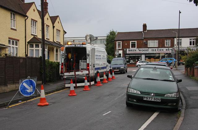
Image: © Martin Addison Taken: 9 Sep 2008
A sewer investigation unit checks out why water and other things are flowing up hill on Westbury Road. Beyond is the High Street with the obligatory queue of traffic waiting for the lights at the junction with Kings Road. Brentwood Tile Centre seems to be missing some tiles from its scrabble set.
Images are licensed for reuse under creativecommons.org/licenses/by-sa/2.0
Image Location
Latitude
51.618839
Longitude
0.296311