Upper Lliw reservoir wall
Introduction
The photograph on this page of Upper Lliw reservoir wall by Nigel Davies as part of the Geograph project.
The Geograph project started in 2005 with the aim of publishing, organising and preserving representative images for every square kilometre of Great Britain, Ireland and the Isle of Man.

There are currently over 7.5m images from over 14,400 individuals and you can help contribute to the project by visiting https://www.geograph.org.uk
Upper Lliw reservoir wall
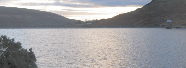
Image: © Nigel Davies Taken: 26 Dec 2005
This is the view looking south down the east bank of the reservoir towards the dam wall at the south and the tower at the southwest end of the reservoir.
Images are licensed for reuse under creativecommons.org/licenses/by-sa/2.0
Image Location


Leaflet Map data © OpenStreetMap
Latitude
51.734893
Longitude
-3.939006