The Ouse Valley Way
Introduction
The photograph on this page of The Ouse Valley Way by M J Richardson as part of the Geograph project.
The Geograph project started in 2005 with the aim of publishing, organising and preserving representative images for every square kilometre of Great Britain, Ireland and the Isle of Man.

There are currently over 7.5m images from over 14,400 individuals and you can help contribute to the project by visiting https://www.geograph.org.uk
The Ouse Valley Way
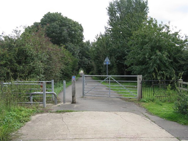
Image: © M J Richardson Taken: 8 Sep 2008
Here heading towards Willington from Bedford and the Priory Country Park, along the track of an old railway.
Images are licensed for reuse under creativecommons.org/licenses/by-sa/2.0
Image Location
Latitude
52.135729
Longitude
-0.420091