Looking SW along the Elham Valley Way
Introduction
The photograph on this page of Looking SW along the Elham Valley Way by Nick Smith as part of the Geograph project.
The Geograph project started in 2005 with the aim of publishing, organising and preserving representative images for every square kilometre of Great Britain, Ireland and the Isle of Man.

There are currently over 7.5m images from over 14,400 individuals and you can help contribute to the project by visiting https://www.geograph.org.uk
Looking SW along the Elham Valley Way
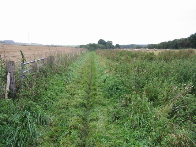
Image: © Nick Smith Taken: 6 Sep 2008
The Elham Valley Way is a 22.5 mile long path from Canterbury to Hythe, this section is from Elham to Lyminge, it follows the Nailbourne river through the valley at this point.
Images are licensed for reuse under creativecommons.org/licenses/by-sa/2.0
Image Location
Latitude
51.146367
Longitude
1.111425