Top of Trent Lane, East Bridgford
Introduction
The photograph on this page of Top of Trent Lane, East Bridgford by Tim Heaton as part of the Geograph project.
The Geograph project started in 2005 with the aim of publishing, organising and preserving representative images for every square kilometre of Great Britain, Ireland and the Isle of Man.

There are currently over 7.5m images from over 14,400 individuals and you can help contribute to the project by visiting https://www.geograph.org.uk
Top of Trent Lane, East Bridgford
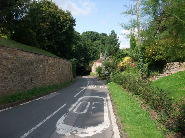
Image: © Tim Heaton Taken: 7 Sep 2008
The lane runs from the church (wall on left), down Cuttle Hill, to the floor of the Trent Valley.
Images are licensed for reuse under creativecommons.org/licenses/by-sa/2.0
Image Location
Latitude
52.981614
Longitude
-0.972849