Melbourne House
Introduction
The photograph on this page of Melbourne House by Malcolm Carruthers as part of the Geograph project.
The Geograph project started in 2005 with the aim of publishing, organising and preserving representative images for every square kilometre of Great Britain, Ireland and the Isle of Man.

There are currently over 7.5m images from over 14,400 individuals and you can help contribute to the project by visiting https://www.geograph.org.uk
Melbourne House
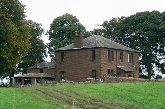
Image: © Malcolm Carruthers Taken: 8 Sep 2008
This large house once stood alone in pasture land, but is now about to be swamped by expanding industrial units from Gilwilly Industrial Estate.
Images are licensed for reuse under creativecommons.org/licenses/by-sa/2.0
Image Location
Latitude
54.670722
Longitude
-2.769824