Allotments in Stotfold.
Introduction
The photograph on this page of Allotments in Stotfold. by Robin Hall as part of the Geograph project.
The Geograph project started in 2005 with the aim of publishing, organising and preserving representative images for every square kilometre of Great Britain, Ireland and the Isle of Man.

There are currently over 7.5m images from over 14,400 individuals and you can help contribute to the project by visiting https://www.geograph.org.uk
Allotments in Stotfold.
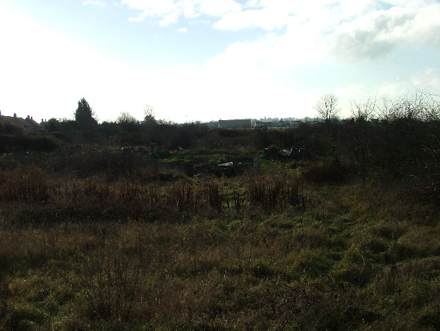
Image: © Robin Hall Taken: 25 Dec 2005
These allotments look like they could do with a bit of care and attention.
Images are licensed for reuse under creativecommons.org/licenses/by-sa/2.0
Image Location
Latitude
52.020847
Longitude
-0.232197