Green Dragon Lane, London N21
Introduction
The photograph on this page of Green Dragon Lane, London N21 by Christine Matthews as part of the Geograph project.
The Geograph project started in 2005 with the aim of publishing, organising and preserving representative images for every square kilometre of Great Britain, Ireland and the Isle of Man.

There are currently over 7.5m images from over 14,400 individuals and you can help contribute to the project by visiting https://www.geograph.org.uk
Green Dragon Lane, London N21
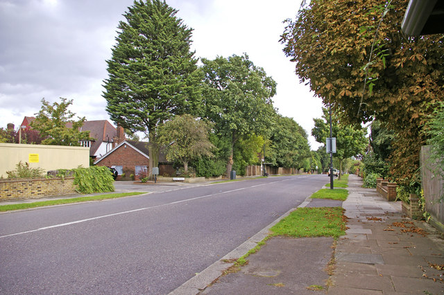
Image: © Christine Matthews Taken: 1 Sep 2008
Looking east down Green Dragon Lane. The junction with Bazile Road can be seen on the left, as can the hoarding round the former Enfield Park Nursing Home.
Images are licensed for reuse under creativecommons.org/licenses/by-sa/2.0
Image Location
Latitude
51.641614
Longitude
-0.102748