Monkton Up Wimborne: postbox № BH21 111 and Manor Farm
Introduction
The photograph on this page of Monkton Up Wimborne: postbox № BH21 111 and Manor Farm by Chris Downer as part of the Geograph project.
The Geograph project started in 2005 with the aim of publishing, organising and preserving representative images for every square kilometre of Great Britain, Ireland and the Isle of Man.

There are currently over 7.5m images from over 14,400 individuals and you can help contribute to the project by visiting https://www.geograph.org.uk
Monkton Up Wimborne: postbox № BH21 111 and Manor Farm
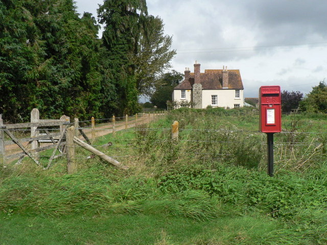
Image: © Chris Downer Taken: 7 Sep 2008
Manor Farm is in the background, behind the village postbox.
Images are licensed for reuse under creativecommons.org/licenses/by-sa/2.0
Image Location


Leaflet Map data © OpenStreetMap
Latitude
50.921046
Longitude
-1.975906