Farmland south of Dole's Ash Farm
Introduction
The photograph on this page of Farmland south of Dole's Ash Farm by Jim Champion as part of the Geograph project.
The Geograph project started in 2005 with the aim of publishing, organising and preserving representative images for every square kilometre of Great Britain, Ireland and the Isle of Man.

There are currently over 7.5m images from over 14,400 individuals and you can help contribute to the project by visiting https://www.geograph.org.uk
Farmland south of Dole's Ash Farm
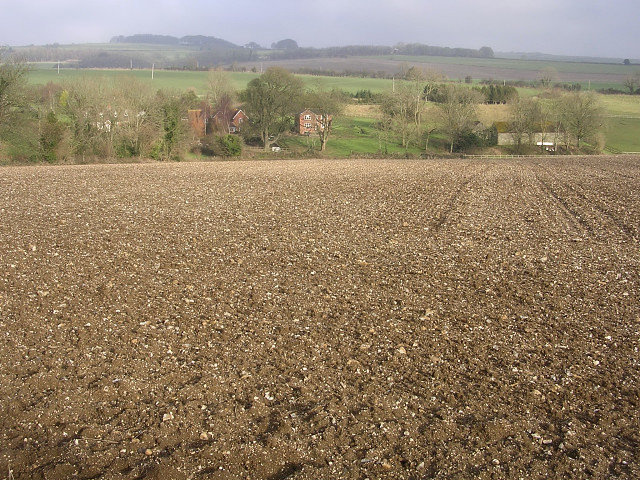
Image: © Jim Champion Taken: 25 Dec 2005
On the far side of the flinty chalk field is Dole's Ash farm and the surrounding cottages.
Images are licensed for reuse under creativecommons.org/licenses/by-sa/2.0
Image Location


Leaflet Map data © OpenStreetMap
Latitude
50.798883
Longitude
-2.397255