East Lightside
Introduction
The photograph on this page of East Lightside by Richard Webb as part of the Geograph project.
The Geograph project started in 2005 with the aim of publishing, organising and preserving representative images for every square kilometre of Great Britain, Ireland and the Isle of Man.

There are currently over 7.5m images from over 14,400 individuals and you can help contribute to the project by visiting https://www.geograph.org.uk
East Lightside
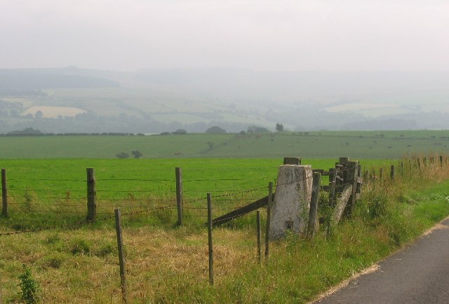
Image: © Richard Webb Taken: 2 Aug 2004
High level farmland for these parts, the trig is at 246m.
Images are licensed for reuse under creativecommons.org/licenses/by-sa/2.0
Image Location


Leaflet Map data © OpenStreetMap
Latitude
54.903148
Longitude
-2.134083