Radwell International Airport!
Introduction
The photograph on this page of Radwell International Airport! by Robin Hall as part of the Geograph project.
The Geograph project started in 2005 with the aim of publishing, organising and preserving representative images for every square kilometre of Great Britain, Ireland and the Isle of Man.

There are currently over 7.5m images from over 14,400 individuals and you can help contribute to the project by visiting https://www.geograph.org.uk
Radwell International Airport!
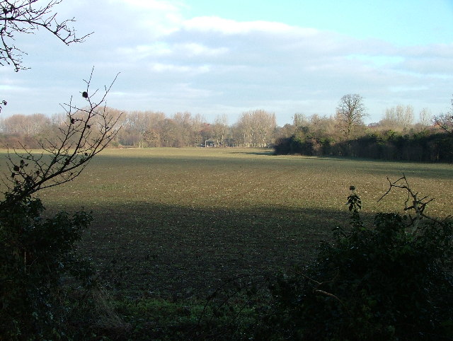
Image: © Robin Hall Taken: 25 Dec 2005
Although originally listed here as Stotfold International Airport, it's actually Radwell International airport, and it has been in regular use since 1987, but the grass runway is off to the left and can't really be seen in the photo. There is a fault with the OS map which shows two runways in this field and this photo is taken from the end of the 'other' one. The trouble is, that runway only existed for the summer of 1995 when there was a race by microlight from Villanueva del Pardillo (near Madrid) to Radwell, and it was subsequently ploughed up. Unfortunately, OS re-surveyed the area at that time and the 1:2500 OS map has shown both runways ever since.The OS maps show this as a landing strip. I for one don't fancy landing an aircraft here! Thanks to Richard Meredith-Hardy for the information on this photo.
Images are licensed for reuse under creativecommons.org/licenses/by-sa/2.0
Image Location


Leaflet Map data © OpenStreetMap
Latitude
52.00443
Longitude
-0.216818