Hill Top and St Michael's spire
Introduction
The photograph on this page of Hill Top and St Michael's spire by E Gammie as part of the Geograph project.
The Geograph project started in 2005 with the aim of publishing, organising and preserving representative images for every square kilometre of Great Britain, Ireland and the Isle of Man.

There are currently over 7.5m images from over 14,400 individuals and you can help contribute to the project by visiting https://www.geograph.org.uk
Hill Top and St Michael's spire
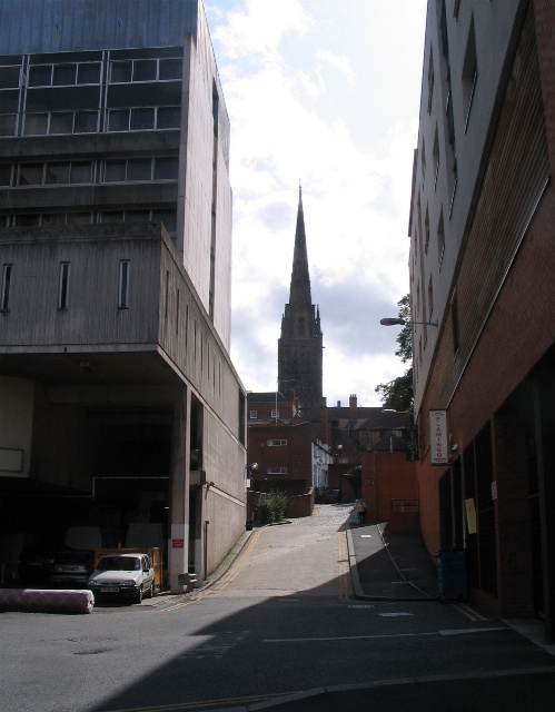
Image: © E Gammie Taken: 3 Sep 2008
Hill Top is an old lane that runs from Fairfax Street to Priory Row, the lower end somewhat dominated by the looming delivery entrance of the adjacent hotel on the left.
Images are licensed for reuse under creativecommons.org/licenses/by-sa/2.0
Image Location


Leaflet Map data © OpenStreetMap
Latitude
52.409059
Longitude
-1.507783