Boltsburn Terrace, Ramshaw
Introduction
The photograph on this page of Boltsburn Terrace, Ramshaw by Elfrieda Waren as part of the Geograph project.
The Geograph project started in 2005 with the aim of publishing, organising and preserving representative images for every square kilometre of Great Britain, Ireland and the Isle of Man.

There are currently over 7.5m images from over 14,400 individuals and you can help contribute to the project by visiting https://www.geograph.org.uk
Boltsburn Terrace, Ramshaw
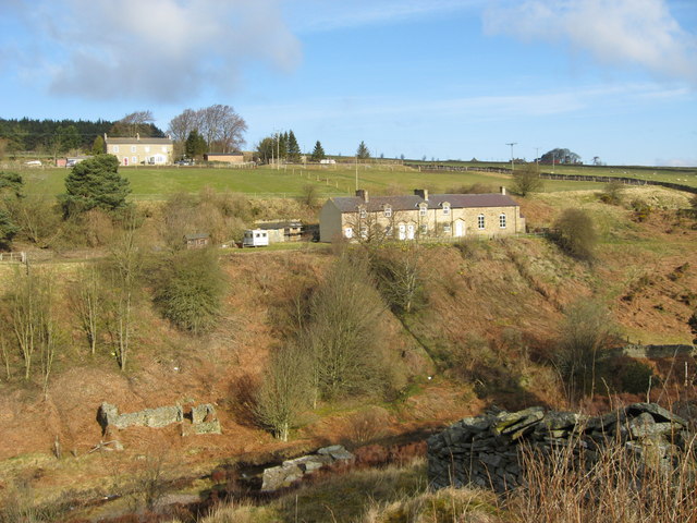
Image: © Elfrieda Waren Taken: 13 Apr 2008
On the end of this row of lead miners' cottages is a Primitive Methodist chapel; go to http://www.hunstanworthhistory.org.uk/places/chapel.php to discover the chapel's history.
Images are licensed for reuse under creativecommons.org/licenses/by-sa/2.0
Image Location
Latitude
54.825737
Longitude
-2.074524