Lorne Road Cemetery
Introduction
The photograph on this page of Lorne Road Cemetery by Trevor Harris as part of the Geograph project.
The Geograph project started in 2005 with the aim of publishing, organising and preserving representative images for every square kilometre of Great Britain, Ireland and the Isle of Man.

There are currently over 7.5m images from over 14,400 individuals and you can help contribute to the project by visiting https://www.geograph.org.uk
Lorne Road Cemetery
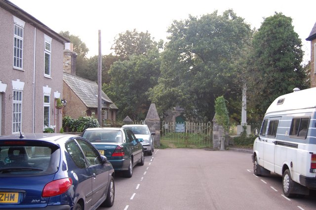
Image: © Trevor Harris Taken: 4 Sep 2008
The low building on the right, beyond the cemetery gates, is (or maybe was - as it appears to be boarded up) Brentwood Museum.
Images are licensed for reuse under creativecommons.org/licenses/by-sa/2.0
Image Location
Latitude
51.609383
Longitude
0.296989