Sefton Mill
Introduction
The photograph on this page of Sefton Mill by Peter Hodge as part of the Geograph project.
The Geograph project started in 2005 with the aim of publishing, organising and preserving representative images for every square kilometre of Great Britain, Ireland and the Isle of Man.

There are currently over 7.5m images from over 14,400 individuals and you can help contribute to the project by visiting https://www.geograph.org.uk
Sefton Mill
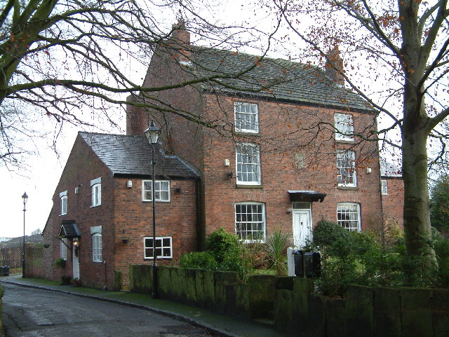
Image: © Peter Hodge Taken: 24 Dec 2005
Now used as a house, was a water powered corn-mill, part of the River Alt was diverted.
Images are licensed for reuse under creativecommons.org/licenses/by-sa/2.0
Image Location


Leaflet Map data © OpenStreetMap
Latitude
53.504718
Longitude
-2.970167