River Wey Navigation near West Hall
Introduction
The photograph on this page of River Wey Navigation near West Hall by Graham Horn as part of the Geograph project.
The Geograph project started in 2005 with the aim of publishing, organising and preserving representative images for every square kilometre of Great Britain, Ireland and the Isle of Man.

There are currently over 7.5m images from over 14,400 individuals and you can help contribute to the project by visiting https://www.geograph.org.uk
River Wey Navigation near West Hall
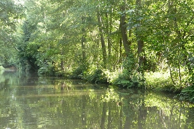
Image: © Graham Horn Taken: 24 Aug 2008
The navigation becomes rural surprisingly quickly, despite the M25 being just yards to the east. Although a river navigation, many parts such as this are canal-like in appearance, with a definitive towpath.
Images are licensed for reuse under creativecommons.org/licenses/by-sa/2.0
Image Location
Latitude
51.333966
Longitude
-0.484698