River Wey stop lock
Introduction
The photograph on this page of River Wey stop lock by Graham Horn as part of the Geograph project.
The Geograph project started in 2005 with the aim of publishing, organising and preserving representative images for every square kilometre of Great Britain, Ireland and the Isle of Man.

There are currently over 7.5m images from over 14,400 individuals and you can help contribute to the project by visiting https://www.geograph.org.uk
River Wey stop lock
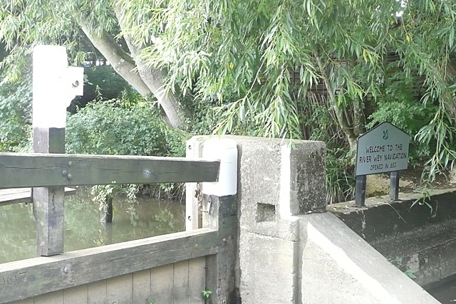
Image: © Graham Horn Taken: 24 Aug 2008
The unassuming sign at the stop lock announces the River Wey Navigation, opened in 1653. This makes it one of the oldest navigable waterways in the country preceding other rivers by some 70 years.
Images are licensed for reuse under creativecommons.org/licenses/by-sa/2.0
Image Location
Latitude
51.379306
Longitude
-0.458486