Meadows Muslim Centre, Collgate Road
Introduction
The photograph on this page of Meadows Muslim Centre, Collgate Road by Oxymoron as part of the Geograph project.
The Geograph project started in 2005 with the aim of publishing, organising and preserving representative images for every square kilometre of Great Britain, Ireland and the Isle of Man.

There are currently over 7.5m images from over 14,400 individuals and you can help contribute to the project by visiting https://www.geograph.org.uk
Meadows Muslim Centre, Collgate Road
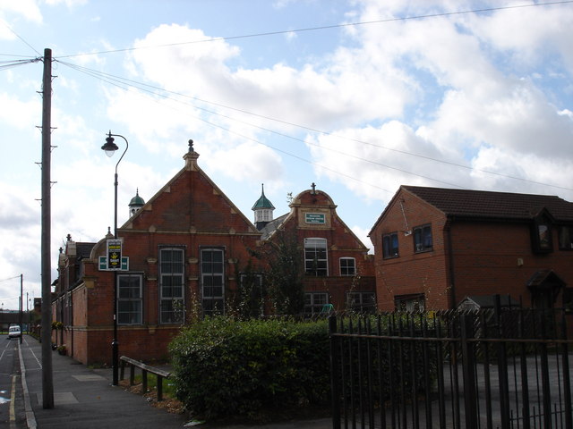
Image: © Oxymoron Taken: 3 Sep 2008
It looks as though these buildings were once a local school, probably attached to the church next door on Bathley Street [http://www.geograph.org.uk/photo/948761].
Images are licensed for reuse under creativecommons.org/licenses/by-sa/2.0
Image Location
Latitude
52.937484
Longitude
-1.144264