Dangerous bridge
Introduction
The photograph on this page of Dangerous bridge by Peter Whatley as part of the Geograph project.
The Geograph project started in 2005 with the aim of publishing, organising and preserving representative images for every square kilometre of Great Britain, Ireland and the Isle of Man.

There are currently over 7.5m images from over 14,400 individuals and you can help contribute to the project by visiting https://www.geograph.org.uk
Dangerous bridge
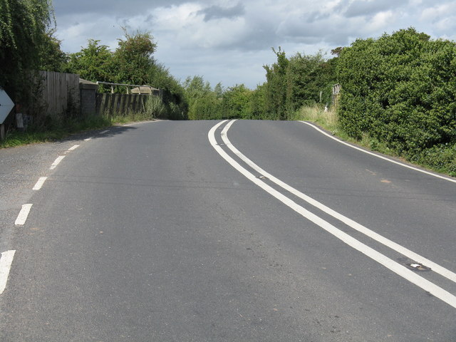
Image: © Peter Whatley Taken: 3 Sep 2008
Two sharp curves and a distinct hump make the A417 bridge over the Worcester-Ledbury railway trickier than might appear from the OS 1:50k map.
Images are licensed for reuse under creativecommons.org/licenses/by-sa/2.0
Image Location


Leaflet Map data © OpenStreetMap
Latitude
52.059258
Longitude
-2.509277