Walking up Haugh Head Road, Hoylandswaine
Introduction
The photograph on this page of Walking up Haugh Head Road, Hoylandswaine by Wendy North as part of the Geograph project.
The Geograph project started in 2005 with the aim of publishing, organising and preserving representative images for every square kilometre of Great Britain, Ireland and the Isle of Man.

There are currently over 7.5m images from over 14,400 individuals and you can help contribute to the project by visiting https://www.geograph.org.uk
Walking up Haugh Head Road, Hoylandswaine
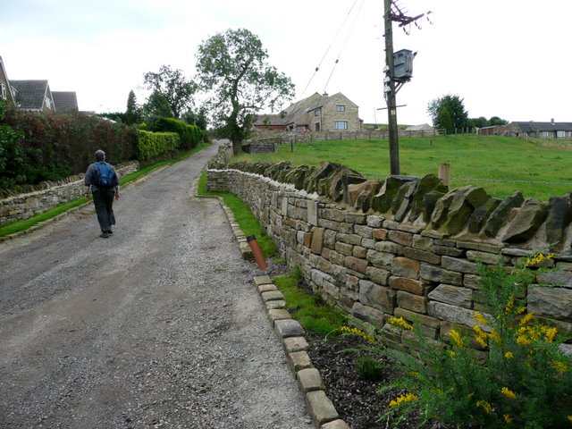
Image: © Wendy North Taken: 22 Aug 2008
The footpath to the trig point now passes new housing called `The Spires'. This appears to be on the site of a former farm.
Images are licensed for reuse under creativecommons.org/licenses/by-sa/2.0
Image Location
Latitude
53.541189
Longitude
-1.610344