Ardagh Tennis Courts
Introduction
The photograph on this page of Ardagh Tennis Courts by Linda Bailey as part of the Geograph project.
The Geograph project started in 2005 with the aim of publishing, organising and preserving representative images for every square kilometre of Great Britain, Ireland and the Isle of Man.

There are currently over 7.5m images from over 14,400 individuals and you can help contribute to the project by visiting https://www.geograph.org.uk
Ardagh Tennis Courts
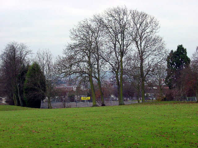
Image: © Linda Bailey Taken: 23 Dec 2005
On Horfield Common are the Ardagh Tennis Courts and Bowling Green. The Ardagh was a house on the common which was demolished in 1926.
Images are licensed for reuse under creativecommons.org/licenses/by-sa/2.0
Image Location
Latitude
51.485049
Longitude
-2.593293