The Right of Way continues
Introduction
The photograph on this page of The Right of Way continues by Deborah Tilley as part of the Geograph project.
The Geograph project started in 2005 with the aim of publishing, organising and preserving representative images for every square kilometre of Great Britain, Ireland and the Isle of Man.

There are currently over 7.5m images from over 14,400 individuals and you can help contribute to the project by visiting https://www.geograph.org.uk
The Right of Way continues
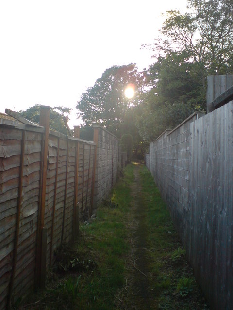
Image: © Deborah Tilley Taken: 31 Aug 2008
Once through woods and fields, the path now squeezes between the rear gardens of 1960's houses. Where there was once chain link and wire there is now a higgeldy piggeldy mismatch of different fencing.
Images are licensed for reuse under creativecommons.org/licenses/by-sa/2.0
Image Location
Latitude
51.702744
Longitude
-4.13359