River Brent old channel
Introduction
The photograph on this page of River Brent old channel by Alan Murray-Rust as part of the Geograph project.
The Geograph project started in 2005 with the aim of publishing, organising and preserving representative images for every square kilometre of Great Britain, Ireland and the Isle of Man.

There are currently over 7.5m images from over 14,400 individuals and you can help contribute to the project by visiting https://www.geograph.org.uk
River Brent old channel
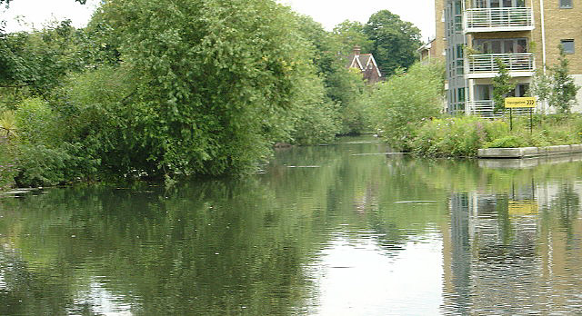
Image: © Alan Murray-Rust Taken: 23 Jul 2008
One of a number of stretches of the River Brent that were bypasses when it was canalised to become the Grand Union Canal. It includes a sluice weir (behind the new buildings) to regulate the flow in the canal.
Images are licensed for reuse under creativecommons.org/licenses/by-sa/2.0
Image Location
Latitude
51.485009
Longitude
-0.311473