Trewern farm, Pontfaen
Introduction
The photograph on this page of Trewern farm, Pontfaen by Natasha Ceridwen de Chroustchoff as part of the Geograph project.
The Geograph project started in 2005 with the aim of publishing, organising and preserving representative images for every square kilometre of Great Britain, Ireland and the Isle of Man.

There are currently over 7.5m images from over 14,400 individuals and you can help contribute to the project by visiting https://www.geograph.org.uk
Trewern farm, Pontfaen
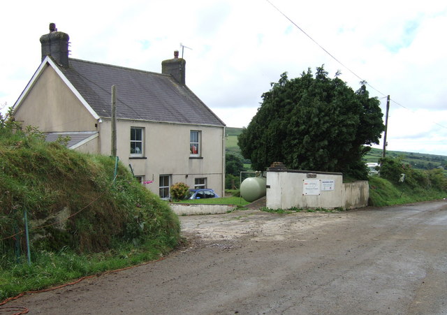
Image: © Natasha Ceridwen de Chroustchoff Taken: 24 Jun 2007
On older maps this farm is named Ty'r Wern/House by the swamp (or alder-trees, which grow on wet land): this would be where the Pontfaen brook runs down the valley behind, to the southwest.
Images are licensed for reuse under creativecommons.org/licenses/by-sa/2.0
Image Location


Leaflet Map data © OpenStreetMap
Latitude
51.957232
Longitude
-4.862082