Holne Chase and Rowan Walk
Introduction
The photograph on this page of Holne Chase and Rowan Walk by Martin Addison as part of the Geograph project.
The Geograph project started in 2005 with the aim of publishing, organising and preserving representative images for every square kilometre of Great Britain, Ireland and the Isle of Man.

There are currently over 7.5m images from over 14,400 individuals and you can help contribute to the project by visiting https://www.geograph.org.uk
Holne Chase and Rowan Walk
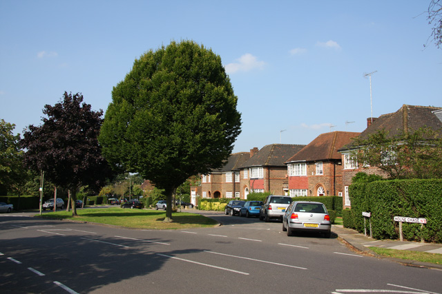
Image: © Martin Addison Taken: 30 Aug 2008
The road in the foreground is Holne Chase, it bends round to the left at this point. The houses on the loop beside the island are on Rowan Walk. Rowan walk itself is visible between the trees, left of centre, with its junction with Holne Chase on the extreme left.
Images are licensed for reuse under creativecommons.org/licenses/by-sa/2.0
Image Location
Latitude
51.58064
Longitude
-0.176156