Lumbutts Tower and Lee Farm
Introduction
The photograph on this page of Lumbutts Tower and Lee Farm by Humphrey Bolton as part of the Geograph project.
The Geograph project started in 2005 with the aim of publishing, organising and preserving representative images for every square kilometre of Great Britain, Ireland and the Isle of Man.

There are currently over 7.5m images from over 14,400 individuals and you can help contribute to the project by visiting https://www.geograph.org.uk
Lumbutts Tower and Lee Farm
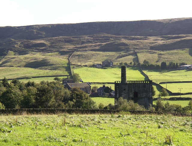
Image: © Humphrey Bolton Taken: 15 Sep 2004
This photo was taken looking south from the packhorse track between Lumbutts and Mankinholes. Langfield Edge is in the background, with many bumps and hollows suggesting quarrying in the past.
Images are licensed for reuse under creativecommons.org/licenses/by-sa/2.0
Image Location


Leaflet Map data © OpenStreetMap
Latitude
53.706108
Longitude
-2.069647