Guidestone at Lumbutts, Langfield
Introduction
The photograph on this page of Guidestone at Lumbutts, Langfield by Humphrey Bolton as part of the Geograph project.
The Geograph project started in 2005 with the aim of publishing, organising and preserving representative images for every square kilometre of Great Britain, Ireland and the Isle of Man.

There are currently over 7.5m images from over 14,400 individuals and you can help contribute to the project by visiting https://www.geograph.org.uk
Guidestone at Lumbutts, Langfield
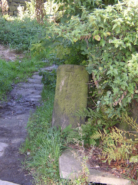
Image: © Humphrey Bolton Taken: 15 Sep 2004
This is at the foot of the packhorse track near to the Top Brink Inn, and points the way to Halifax.
Images are licensed for reuse under creativecommons.org/licenses/by-sa/2.0
Image Location


Leaflet Map data © OpenStreetMap
Latitude
53.707906
Longitude
-2.068135