New plantation, Lurgiescleuch
Introduction
The photograph on this page of New plantation, Lurgiescleuch by Richard Webb as part of the Geograph project.
The Geograph project started in 2005 with the aim of publishing, organising and preserving representative images for every square kilometre of Great Britain, Ireland and the Isle of Man.

There are currently over 7.5m images from over 14,400 individuals and you can help contribute to the project by visiting https://www.geograph.org.uk
New plantation, Lurgiescleuch
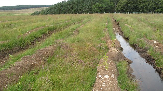
Image: © Richard Webb Taken: 29 Aug 2008
There have been some big changes here since the last map was published. There are several new forestry blocks between the Newcastleton road and Lurgiescleuch. They are all small and so far a lot of the better drained land has remained grassland for sheep. The wood in the background is a shelterbelt.
Images are licensed for reuse under creativecommons.org/licenses/by-sa/2.0
Image Location
Latitude
55.352531
Longitude
-2.708718