East Lyn River at Ashton Cleave
Introduction
The photograph on this page of East Lyn River at Ashton Cleave by Pam Brophy as part of the Geograph project.
The Geograph project started in 2005 with the aim of publishing, organising and preserving representative images for every square kilometre of Great Britain, Ireland and the Isle of Man.

There are currently over 7.5m images from over 14,400 individuals and you can help contribute to the project by visiting https://www.geograph.org.uk
East Lyn River at Ashton Cleave
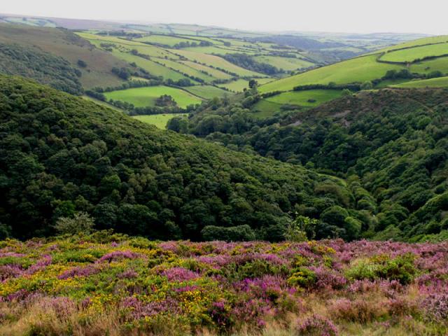
Image: © Pam Brophy Taken: 21 Aug 2004
The photo was taken from Cosgates Feet or County Gate, in the square to the right of this one. The view shows the East Lyn River in the valley below, as it meanders around Southern Wood farm and Ashton Cleave. It is located in the south eastern part of the square.
Images are licensed for reuse under creativecommons.org/licenses/by-sa/2.0
Image Location


Leaflet Map data © OpenStreetMap
Latitude
51.222725
Longitude
-3.741251