Bend in the road above Nant
Introduction
The photograph on this page of Bend in the road above Nant by Eric Jones as part of the Geograph project.
The Geograph project started in 2005 with the aim of publishing, organising and preserving representative images for every square kilometre of Great Britain, Ireland and the Isle of Man.

There are currently over 7.5m images from over 14,400 individuals and you can help contribute to the project by visiting https://www.geograph.org.uk
Bend in the road above Nant
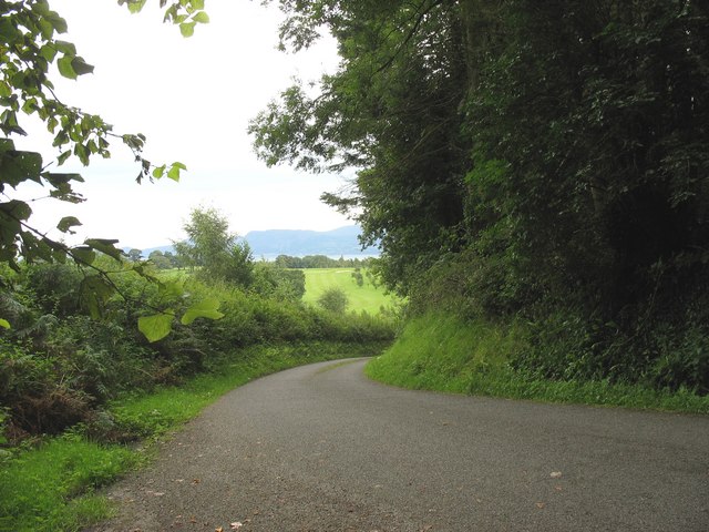
Image: © Eric Jones Taken: 23 Aug 2008
The greens of the Henllys Hall golf course can be seen in the middle ground, while the Menai Strait and the Carneddau Mountains form the background.
Images are licensed for reuse under creativecommons.org/licenses/by-sa/2.0
Image Location
Latitude
53.28089
Longitude
-4.106101