Westfields - redeveloped
Introduction
The photograph on this page of Westfields - redeveloped by Stephen Craven as part of the Geograph project.
The Geograph project started in 2005 with the aim of publishing, organising and preserving representative images for every square kilometre of Great Britain, Ireland and the Isle of Man.

There are currently over 7.5m images from over 14,400 individuals and you can help contribute to the project by visiting https://www.geograph.org.uk
Westfields - redeveloped
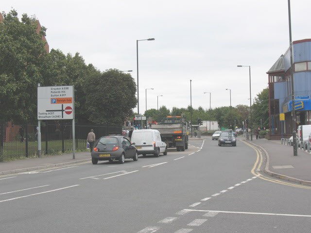
Image: © Stephen Craven Taken: 26 Aug 2008
This is roughly the view in Image looking the other way, but many years later. According to a local informant, there used to be a church (Westfields Mission Room) roughly where the traffic lights are now.
Images are licensed for reuse under creativecommons.org/licenses/by-sa/2.0
Image Location
Latitude
51.406193
Longitude
-0.165132