Roding Valley Park
Introduction
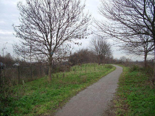
The photograph on this page of Roding Valley Park by John Davies as part of the Geograph project.
The Geograph project started in 2005 with the aim of publishing, organising and preserving representative images for every square kilometre of Great Britain, Ireland and the Isle of Man.
There are currently over 7.5m images from over 14,400 individuals and you can help contribute to the project by visiting https://www.geograph.org.uk

Image: © John Davies Taken: 21 Dec 2005
This area of former floodplain by the River Roding was designated a linear park after construction of the M11. It provides a pleasant north-south leisure route alongside the rather sluggish Roding. The new tree planting will in time screen the motorway, which has a roar like a jumbo jet. Here we are looking north, with the river to our right and the motorway on the left. Redbridge roundabout is half a mile behind us.

